Geospatial Information Science

Tuition

Duration

Admissions Deadline

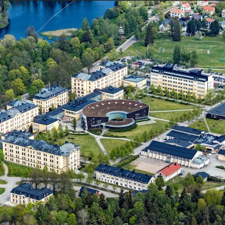
Location
Profile
Geospatial information science is concerned with techniques to collect process and make available all kinds of geographically related information and thereby supporting people in their daily professional and private lives. This master program provides you with the knowledge and skills needed for an advanced professional and/or scientific career in this field. The program offers an interdisciplinary curriculum of two years fulltime studies at campus. Courses are given in English by highly motivated staff from the divisions of computer science and geomatics, who has received top-level ranking of its programmes in the most recent evaluation conducted by the Swedish higher education authority. The pre-requisite for this two-year postgraduate programme in Geospatial information science is a completed Bachelor’s degree, corresponding to a Swedish Bachelor’s degree (180 ECTS) or equivalent academic qualifications from an internationally recognized university, including a minimum of 60 credits in a subject relevant for Geospatial information science (e.g. GIS, geodetic surveying, geography, software engineering, spatial planning).The programme will provide the student solid and scientifically founded knowledge, as well as problem solving skills which both broaden and deepen previous university studies, e.g. studies in computer science and geographical information technology, land surveying or spatial planning. The student will be able to carry out professional activities that are largely self-directed and independent, which is required to gain employment as an expert in activities related to the geospatial information sector and/or for further academic studies leading to research degrees, such as e.g. the PhD programme in Geospatial information science offered at HiG.The program is interdisciplinary run and adapted to both market needs of special competence and post-graduate studies. The programme is given in English and consists of courses at both basic and advanced levels. The courses given at basic level have two purposes. The first is to offer the opportunity for progression, that is, students with insufficient knowledge in the other sub-disciplines in Geospatial information science are given the possibility to continue at advanced level. The other purpose is to offer students the opportunity to broaden knowledge in the subject’s disciplines.
Map
Sorry, no records were found. Please adjust your search criteria and try again.
Sorry, unable to load the Maps API.
Admissions Requirements
Applicants need a bachelor's degree with a major in Geospatial Information Science (e.g. GIS, geodetic surveying, software engineering) or equivalent.Applicants from non-anglophone countries must provide proof of English proficiency.Application deadline for non EU students is January 15.
Related Programs

Program Information
Gävle
Gävleborg County
802 65
Sweden
- 2 years
- Full Time
- On Campus Learning
Additional Information
Considerations