Remote Sensing and Geoinformatics

Tuition

Duration

Admissions Deadline

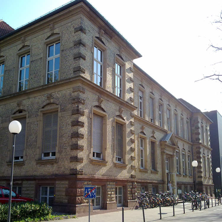
Location
Program Information
Additional Information
Considerations
The goal of this MSc program is to convey the ability to independently apply scientific knowledge and methods to evaluate and solve complex scientific and social problems. To this end, a mixture of basic skills and advanced methods and applications make up the program.Graduates of the degree program Remote Sensing and Geoinformatics can work in all areas where geodata is surveyed, collected, analyzed, visualized and interpreted by help of modern information technology and digital media: from automobile industry to development of appliances and electronics industry, software development, construction businesses, engineering offices, public administration and agencies to international air and space organisations. Not only is a direct start in a professional career possible, graduates with excellent accomplishments may also choose to do a doctorate which opens the possibility for a future career in research and teaching.
Sorry, no records were found. Please adjust your search criteria and try again.
Sorry, unable to load the Maps API.
Program Information
Additional Information
Considerations
We’ve set aside some time this week for our admissions experts to help
serious applicants with questions. Book a FREE call today; spots are limited!