Geodesy and Geoinformatics: Hydrography


Tuition

Duration

Admissions Deadline

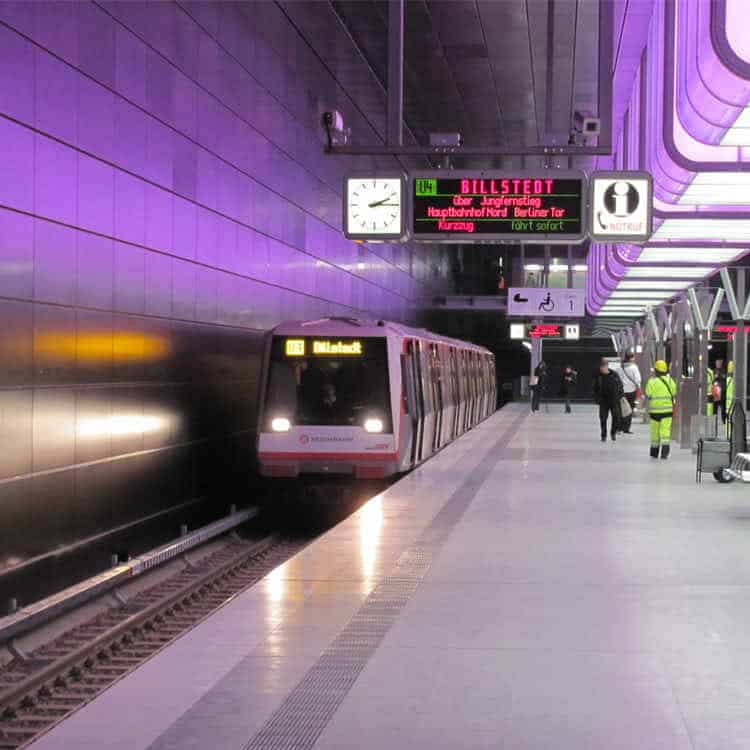
Location
Program Information
Additional Information
Considerations
Geomatics, as the science of recording, administering, analysing and presenting geospatial data and processes, deals with the structures of our living spaces and economic areas. In this connection, it covers an area ranging from geoscience to engineering and social sciences culminating in the environmental sciences, land management and spatial planning. We are involved in the planning of sustainable land use systems and the recording and visualisation of the constantly changing built and as yet unbuilt environment.Geomatics stands for a modern form of surveying, which also covers the areas of geodesy, photogrammetry, metrology, navigation, geographical information systems as well as geographical visualisation. The diverse tasks are accomplished using highly developed technological measurement systems and methods. The geomatics degree course at the HCU offers, for this purpose, a sound qualification in information technology as well as natural and engineering sciences, while simultaneously encouraging a more transdisciplinary way of thinking as well as the ability to work in an interdisciplinary team in order to be able to respond to planning, land policy and current environmentally relevant questions in co-operation with other disciplines.
Sorry, no records were found. Please adjust your search criteria and try again.
Sorry, unable to load the Maps API.
Applicants should have a bachelor degree with a major in hydrography, geomatics, or a related field. Applicants from non-anglophone countries should provide proof of English proficiency. Application deadline for non EU students is July 15.

Program Information
Additional Information
Considerations
We’ve set aside some time this week for our admissions experts to help
serious applicants with questions. Book a FREE call today; spots are limited!