Geomatics with Remote Sensing and GIS

Tuition
Duration

Admissions Deadline
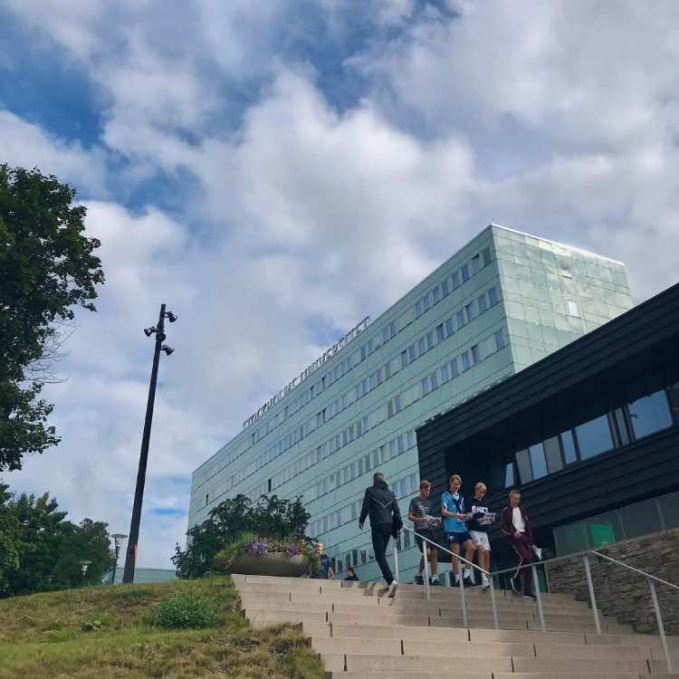
Location
Program Information
Additional Information
Considerations
Geographical information, also known as geodata, is central to many modern activities from parcel tracking and routing emergency response vehicles to leisure activities such as hiking and geocaching. Geographic information systems (GIS) make efficient management of data possible, thus facilitating many different types of analysis and modelling. Landscape change, environmental monitoring and mapping, as well as environmental issues in general, feature significantly on the daily political agenda. This situation is further enhanced by international environmental agreements that demand the continuous reporting of the status of and changes in the environment. Consequently, graduates mastering skills in data acquisition methods and analysis, as well as in visualisation and mapping, are in high demand in both the public and private sectors. This Master’s programme develops students’ skills in several fields, such as remote sensing, GIS, methods for modelling, explorative data analysis and visualisation with a focus on Earth and Environmental Sciences. Teaching emphasizes both hands-on experience and the exploration of fundamental concepts and methods and is linked to research undertaken at the department.
Sorry, no records were found. Please adjust your search criteria and try again.
Sorry, unable to load the Maps API.
Applicants should have a bachelor's degree with a major in biology-earth sciences, geography, Earth sciences or equivalent subjects within natural sciences or technical sciences.Applicants from non-anglophone countries must provide proof of English proficiency.Application deadline for non EU students is January 15.
Program Information
Additional Information
Considerations
We’ve set aside some time this week for our admissions experts to help
serious applicants with questions. Book a FREE call today; spots are limited!